Publisher's description
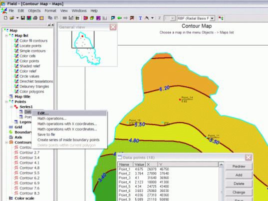
3DField is a contouring surface plotting program that quickly converts your data into contour maps and surface plots. From its neat, attractive interface, 3DField does the following: Interpolates X, Y, Z data points onto a grid (orthogonal or within an arbitrary border); Displays data points on a plane; Graphically displays 2D/3D data arrays; Builds color and black/white contour maps; Creates maps of any size compatible with Microsoft Office; Imports and exports polylines; and finally, outputs maps to emf, wmf, bmp, jpg, png file formats. The map list, which can be shown always-on-top in tree view on the left, allows you to easily switch back and forth between Color Contours, Locate Points, Simple Contours, Color Cells, Circle Values and Delauney Triangles. The program also provides a zoom navigator that lets you magnify specific areas of maps. The easy-to-use and well-put-together 3DField comes complete with a comprehensive, click-through Help file in HTML format
User comments